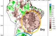
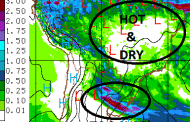
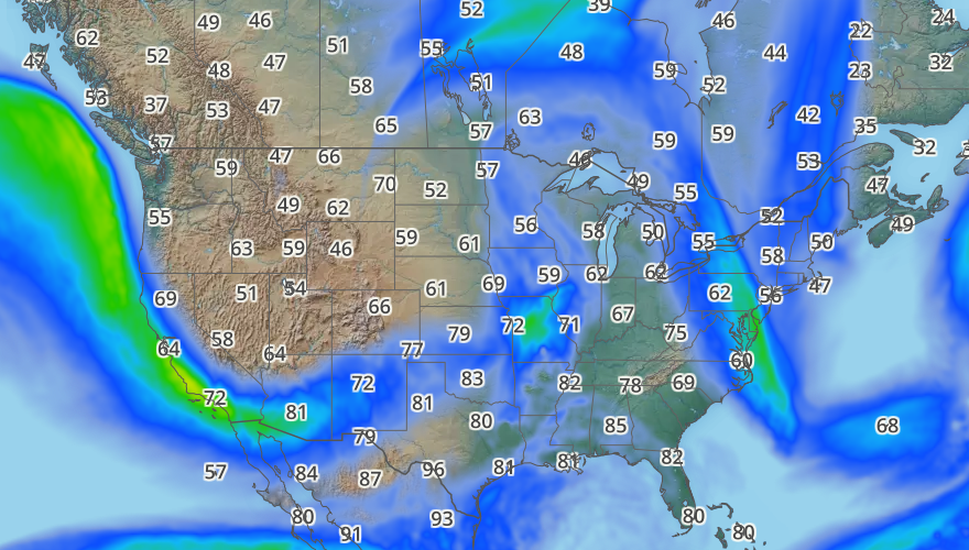
The last two weeks weather over Argentina and Brazil have taken a turn for the worse, marginally so, but still possibly enough to impact yields. Over the important growing regions of Mato Gr... Read more
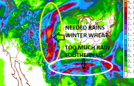
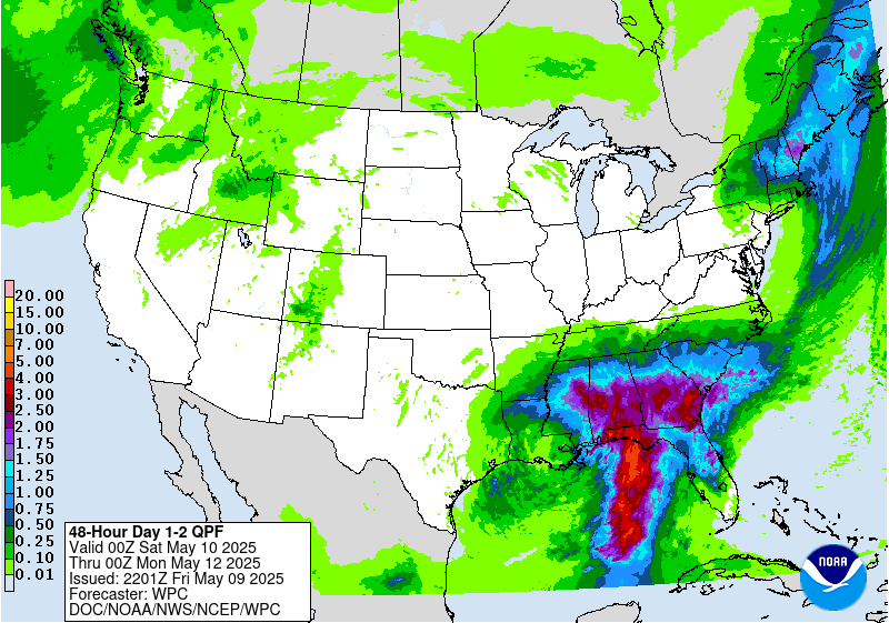
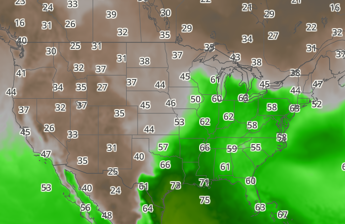
The image shows rainfall totals over the US through Sunday evening. The southern US will receive additional rainfall in inches, which is going to continue stalling plantings in some ar... Read more
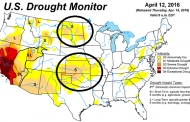
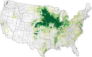
Recent dryness in the Plains has left the primary Winter Wheat Belt with drought condition, which has gradually gained territory over the recent few months. The latest drought monitor map hi... Read more
Overnight rain in Argentina should continue to slow harvest, especially of soybeans. The northern and eastern growing belt received the heaviest amounts with ares receiving near or more than... Read more
The Argentina soybean crop was looking great going into harvest and now is losing yields quickly with day after day of steady rainfall, especially over northeastern growing areas. The next 4... Read more
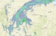
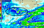
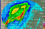
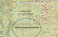
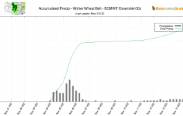
Rain is falling over the winter wheat belt, although there are some decent gaps in coverage. A notable line narrow line of intense storms is along the cold front/dryline. Storm total precip... Read more
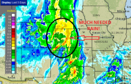
A slow moving spring storm has brought heavy rainfall across the Plains, including over the drought stricken winter wheat belt over Kansas and portions of surrounding states. Amounts so far... Read more
Rainfall amounts the past 24 hours have been been 1-4″ over much of the winter wheat belt, locally more than 5″ over west-central Kansas. However, over the western portion of the main... Read more
The images below are comparisons over roughly the same growing areas of northeastern Argentina from today and from March 28th taken from the MODIS satellite. You will note much darker areas... Read more

