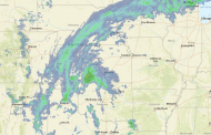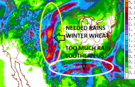
A slow moving spring storm has brought heavy rainfall across the Plains, including over the drought stricken winter wheat belt over Kansas and portions of surrounding states. Amounts so far have been 1-5″, locally more. The image shows Doppler radar estimated rainfall totaled over the past 3 days. It’s likely slightly over estimated in some areas due to hail contamination, but overall very welcomed to parched fields in need of rain, although likely a bit too much too fast over the central portions of the state and also with some storms with lots of hail.


