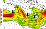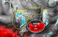
The central US weather system is kicking south and east today with several areas of notable precipitation. The first is currently tracking across eastern Nebraska and Iowa with heavy showers and thunderstorms, shown in the first image. The image below shows rainfall totals over the next 48-hours with also maximums in precipitation over Oklahoma and the Mississippi Delta. Much of the US corn and Soybean belt will receive rainfall, replenishing soil moistures, but also stalling plantings briefly. There will be a bit of break late this week into the weekend before another fast moving system bring additional showers early next week across the main corn and bean belt.


