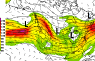
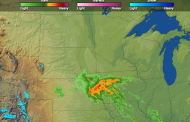
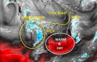
Tuesday, April 26th: A strong spring storm will track into the central Plains today with violent thunderstorms ahead of and along the cool and warm fronts, while slightly cool behind them. A plethora of severe weather threats today such as tornadoes, hail, and strong winds. Most locations have received plenty of rainfall recently, so most are likely not thrilled to see additional rainfall arrive, especially those trying to get into fields for plantings. The last image shows model forecasted 48-hour total precipitation since early this morning. Amounts will be hit and miss over western Kansas and surrounding areas depending on which areas gets hit once storms initiate with daytime heating, but north and east of it will do quite well.


