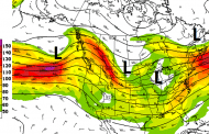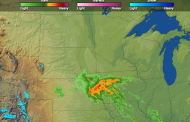
Spring crop plantings will rapidly pick up pace this weekend with favorable mild and dry weather conditions today. However, showers will begin to increase over the western corn belt tomorrow as a weather system coming out of the northern Rockies picks up moisture over the Plains. Rain will start first over eastern Nebraska and Iowa before tracking across the rest of the Midwest. Rainfall amounts will generally be 0.40-1.25″, favored over northern states and mostly beneficial overall. Although amounts will be a bit heavy along a stalled warm front over the upper Great Lakes, and also locally over the northern Plains, further easing drought (yellow circle). Also of interest, high pressure has become anchored over the southeastern US and will lead to warm and dry conditions, allowing the Delta growing region to dry out over the coming days after heavy rains early this Spring.
Top image shows current water vapor satellite image with main features impacting the US showing up well. The second image shows forecast rainfall totals over the next 72 hours. Finally, the last image highlights this active Spring pattern will continue with additional storms expected to track across the north-central US late this week and again next weekend with more showers and thunderstorms. But also note the amount of cold air won’t be much with the Polar cold pool not near by to be tapped.


Spring Storm Likely Next Weekend After The Current One Over the Rockies Tracks Through, and after another one later in the week. Essentially, an active pattern across the US.


